

A State-of-the-art Modern Platform
2 min for flight preparation
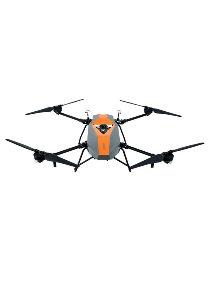
The BB4 UAV is specially designed for professional industrial applications. The modular design with pre-installed arms and antennas reduces the time required for setup, making the platform ready for use in just 2 minutes.
High Capacity
Up to 7 kg payload
LiDAR weight is a constraint for any drone. The UAV needs to lift the entire payload, if not, no data acquisition is possible! The BB4 can carry our CHCNAV scanners with different DSRL cameras. 3D photogrammetry is possible with an oblique camera system. Users can also install multispectral cameras.
Survey-Grade Accuracy
1 cm +1 ppm RTK accuracy
The BB4 is equipped with dual DJI A3 IMUs and GNSS units that work together with CHCNAV's advanced positioning solution, consisting of a high-end GNSS receiver and an industry-leading IMU to meet the high accuracy requirements of the surveying and mapping industry.
Intelligent and Flight-Simplified Operation
BB4 operated by DJI Ground Station Pro
Enhance the BB4's operation with the DJI GS Pro application. Conduct automated flight missions, manage flight data in the cloud, and collaborate across projects to efficiently manage your drone workflow.
- Technical Specifications
- Downloads
- Video
-
General Performance
- Type: Quadcopter with 4 propellers
- Structure: Carbon fiber, quickly release design
- Assembly time: Start≤ 2 min / finish≤ 2 min
- Empty weight: 10.9 kg
- Max. payload: 7.1 kg
- Max. takeoff weight: 28.0 kg (with battery)
- Dimensions: 110.0 x 110.0 x 44.0 cm - 43.3" x 43.3" x 17.32"
- Transport container: Water, dust, quakeproof
- Flight Control: Dual DJI A3
- Remote control SW: DJI GS PRO
- Control system: Dual-frequency GNSS navigation, dual redundancy sensor design, fully-automatic work mode
For details on flight performance and payload capabilities please download the spec sheet.
-
Product Downloads Section